I’m not going to pretend that being stuck in I-70’s notorious traffic is any fun, but at least the mountain corridor is scenic. Unknown to many—even locals—many of those towering peaks can be hiked. From Denver to Vail, there are more than 95 (!) peaks with trailheads that are less than 10 miles off the highway. Here are five of my favorite adventures taken from my guidebook Best Summit Hikes: Denver to Vail.
Golden Bear Peak – 13,010’ & Hagar Mountain 13,220’
Round Trip Distance: 7.8 miles
Difficulty: Moderate
Trailhead Directions: Go west on I-70 through the Eisenhower Tunnel. As you emerge on the west side of the tunnel, the turn off to the parking area is a few hundred feet out of the tunnel on the right. There isn’t an exit number but there is a TRUCK BRAKE CHECK sign.
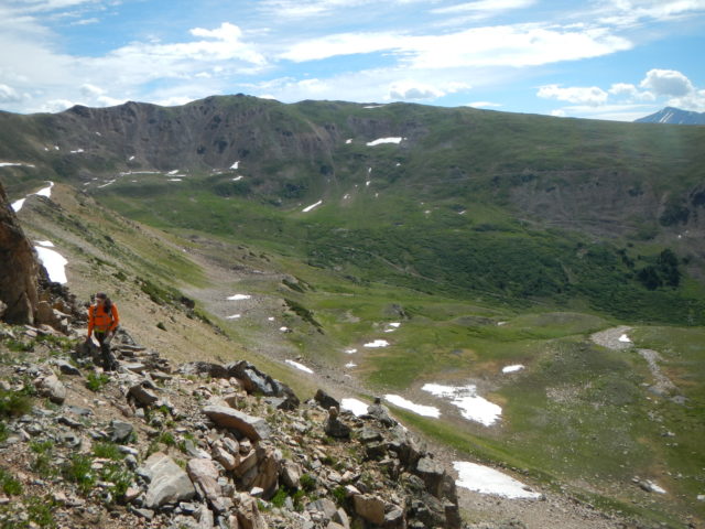
Despite being directly off the highway, the trail that leads up to Golden Bear Peak is a pleasant, well-worn Class 2 walk-up. Golden Bear Peak is within the boundary of the Loveland ski area but is located away from the lifts and fences (it’s accessed by snowcats in the winter). It’s a great hike to refresh your mountain legs or for those looking for a nice half-day hill walk. If you’re feeling more ambitious, carry on to the craggy summit of Hagar Mountain. The two peaks are connected by a ridge that is easy to follow. Hagar culminates in a brief section of easy Class 3 scrambling to reach the top.
When you return to your vehicle, note that you’ll have to descend into Silverthorne to turn around and regain eastbound I-70. A turnaround that had public access in the past is now only for emergency and service vehicles.
Peak One – 12,805’
Round Trip Distance: 7.2 miles
Difficulty: Moderate
Trailhead Directions: Take Exit 201 off westbound I-70. Go left at the end of the exit, under a bridge, then turn right into a large parking lot. The brief first part of this hike is along the Frisco bike path.
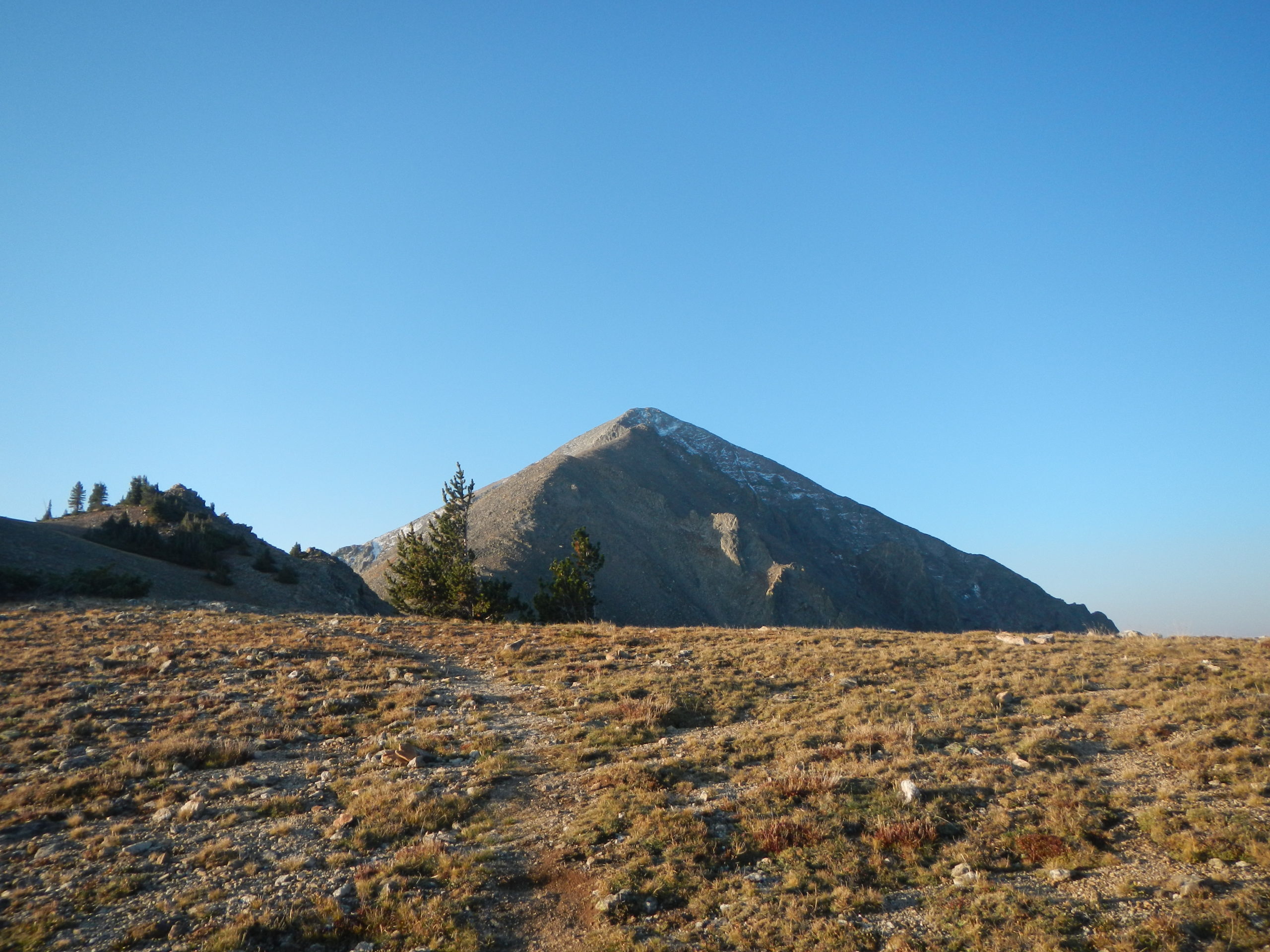
If you like steep, quad-burning terrain, Peak One is your hike! This Class 2 adventure starts along the Frisco bike trail before turning right (west) into the Mount Royal Trail 0.3 miles from the parking area. Mount Royal is really just a bump on the shoulder of Peak One but it’s your first destination at 1.5 miles in. From here, hike above treeline to spectacular views of Dillon Reservoir and the surrounding summits. If you save this hike until late summer or early autumn, the rich palette of colors on the trees below is worth the wait. The final push up to Peak One maintains the stiff elevation profile as the trails switches between the darker rock on the west side of the ridge with the lighter rock on the east.
Atlantic Peak – 13,841’
Round Trip Distance: 3 miles
Difficulty: Hard
Trailhead Directions: To reach Mayflower Gulch, take Exit 195 off I-70 to CO 91S toward Fremont Pass. The turnoff for Mayflower Gulch is on the left 5.9 miles in. Capable vehicles can then travel the dirt road 1.5 miles to the high parking.
This hike starts from the Mayflower Gulch upper trailhead. The upper trailhead requires a decent clearance 4×4, though stock SUVs and sport-utility cars like Suburu Foresters can make it. If your vehicle isn’t off-road ready, it’s a bearable 1.5-mile walk up the road to the start of the hike.
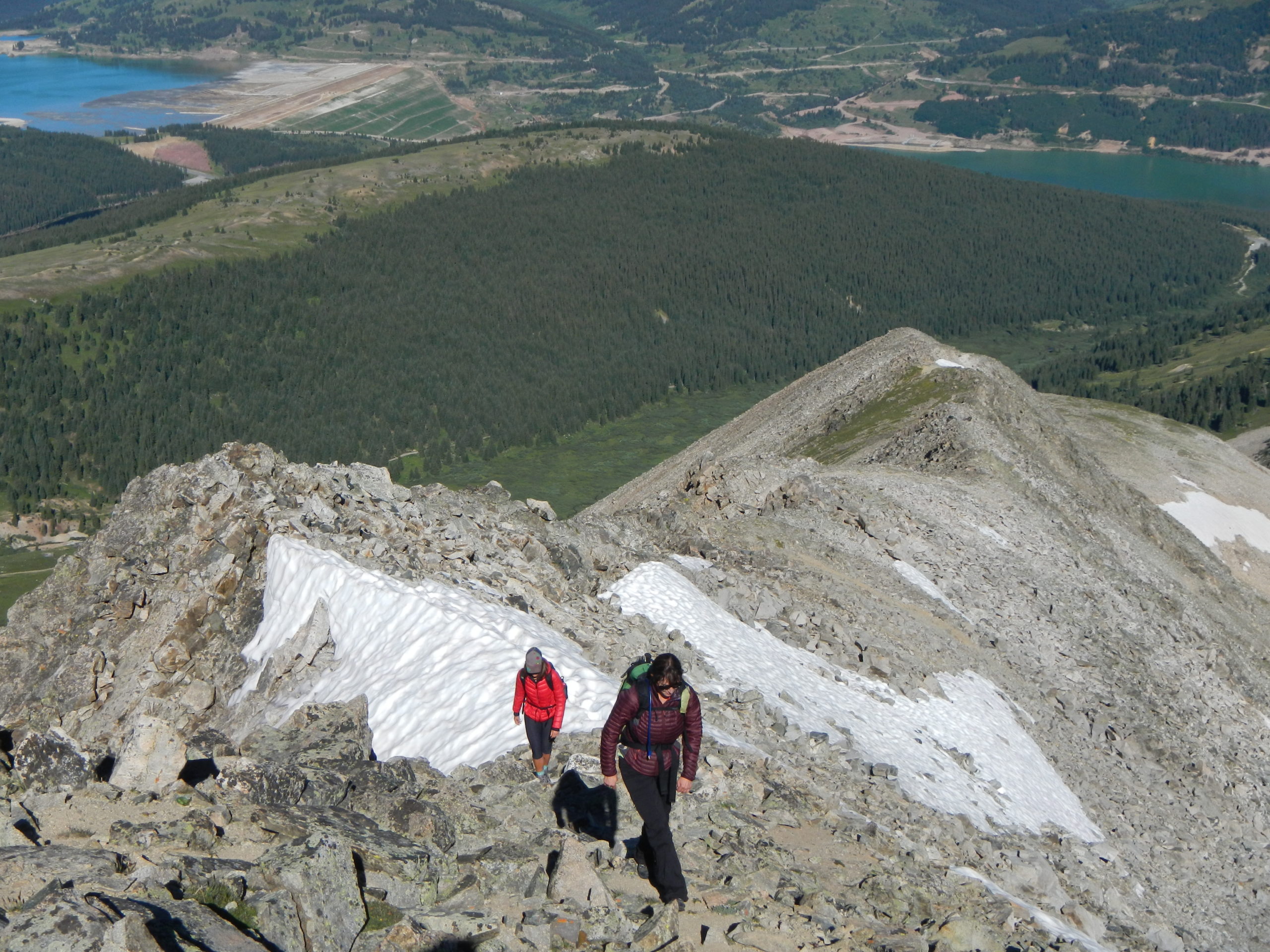
Atlantic Peak’s low mileage belies a hearty day in the mountains. There are no trails but the off-trail navigation is straightforward. Begin by crossing a field of willows and ankle-snaring mini-creeks to reach Atlantic’s impressive west ridge. The going here is slower than it may seem, but it’s only roughly 0.5 miles to gain the ridge—and 1,000 feet of vertical gain! From the lower tail of the ridge, simply follow the ridge east for one mile to this lofty, brilliant summit. It’s a good strategy to wait until mid-June or later to allow the icy spots of the ridge to thaw out. There are some exposed sections along the ridge but they are short-lived (15 feet or so) and along mostly flat terrain.
Eccles Peak – 12,313’ & Deming Mountain 12,902’
Round Trip Distance: 11 miles (Eccles) – 13 miles (Deming)
Difficulty: Moderate
Trailhead Directions: Meadow Creek Trailhead. Take Exit 203 in Frisco. Take a right off the exit from westbound I-70 into a roundabout. Take the second right and follow it west 0.5 miles along a dirt road to the parking area.
Don’t let the big mileage discourage you from enjoying this fantastic hike. The hike begins with a five-mile, on-trail hike along the accommodating Meadow Creek Trail to the top of the outrageously gorgeous Eccles Pass. After that, hikers can enjoy a pleasant walk east to the summit of Eccles Peak. Or for something a little spicier, go west/southwest and follow a ridge scramble (Class 3) to the seldom-visited summit of Deming Mountain. Of course, there’s always the option to get ‘em both, which makes for a longer, 15-mile round-trip day.
Bonus: Strong hikers can eschew both summits and continue over Eccles Pass, traverse to Red Buffalo Pass, and follow 13,189’ Red Peak’s wonderful, easy Class 3 south ridge. This is a big day—15.1 miles round-trip and a whopping 5,100 feet of elevation gain. For strong hikers, it’s an excellent, full day out.
Mount Bethel – 12,705’
Round Trip Distance: 3.2 miles
Difficulty: Moderate
Trailhead Directions: The adventure starts from Dry Gulch Trailhead near the exit for Loveland Ski area. From I-70 westbound, take Exit 216. At the end of the exit ramp, take a hairpin turn right onto a dirt road and follow it to the end of the parking area near a closed gate.
Mount Bethel is something of an I-70 classic thanZks to the long rows of snow fences high on its steep slopes. Ever want to see those fences up close? Here’s your chance! This hike starts by following the road past the gate. Where it turns northwest into Dry Gulch, get off trail and hammer straight up to the north. A short bit of off-trail bushwhacking leads to the steep grind on the open slopes and the aforementioned fences. Bring poles! The hike is as simple as that. Keep chugging until you reach the summit.
A nice bonus is nearby Unnamed Peak 12,438, a 0.5-mile hike northwest from the summit of Mount Bethel. From UN 12,438 you can drop down the grassy slopes to the south or meander back to Bethel’s slopes.


