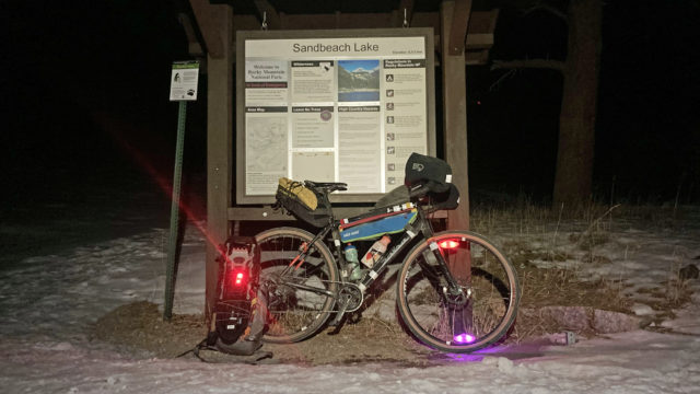
I’m out the door by 1 a.m., heading north from South Boulder. I dodge drunk CU students just coming in for the night as I ride the icy streets through town.
Welcome to the latest stunt I’ve planned for myself: a winter bike-to-summit of Longs Peak, Rocky Mountain National Park’s 14,255-foot mountain, known as Neníisótoyóú’u to indigenous peoples of Colorado. I’ll be attempting to summit via the Keplinger’s Couloir, a 2,000-foot gully of snow and loose rock carved out of the remote south slopes, found after a 7.5 mile trudge deep into the Wild Basin backcountry. It’s late January, cold and snowy. The sun will set at 5:17 p.m.
I’ve attempted this feat three times before. Though I’ve stood atop Longs Peak a dozen times in the winter, summiting the mountain via this gully has always been just beyond my reach. No one likes to turn back from a big goal, but safety is paramount. My plan has always been to make it there and back home in a single day.
Even in summer, most people do the route as part of an overnight backpack. In winter, the conditions are much colder, slower, and more dangerous.

The Longs Peak Duathlon
We call this bike-to-summit adventure the Longs Peak Duathlon. I’ve done nearly 50 of them: Forty miles of biking to reach the trailhead, a 10- to 20-mile romp in the national park (depending on my route), then 40 miles back home to Boulder.
The first recorded Longs Peak Duathlon happened the summer of 1977, when Boulder’s Cleve McCarty brought his 12-year-old son Eric on the endurance adventure, which, 32 years later, Eric would repeat with his own son. Legendary brothers Roger and Bill Briggs were also known to complete Longs Peak bike-and-hikes, with Bill bagging more than anyone until such adventures caught my eye in the early 2010s. Roger notched one of the most formidable trips when, in 1991, he free-soloed the hyper-steep and classic Casual Route that goes straight up the mountain’s sheer diamond face after cycling from Boulder.
I got hooked on self-powered mountain adventures after my first Longs Peak Duathlon in May 2013. The following winter, I managed the first-known winter duathlon of Longs Peak via the Loft, an east-facing couloir that splits Mt. Meeker and Longs Peak apart. It took 19 hours and added to my list of accomplishments, which includes pedaling a single-speed during the 2012 Tour Divide, a 2,700-mile self-supported mountain-bike race from Banff, Alberta, Canada, to the Mexican border with New Mexico; also my 60-day endeavor to summit Colorado’s 100 tallest peaks via only bike and foot.
By the time I set out that cold January 2022 morning, I had more than proved myself in the mountains. But I still hadn’t quested Keplinger’s.
There’s still time
Planning a duathlon means making difficult decisions. Weight is critical. Warm, waterproof winter boots are eschewed for Italian trail runners with sheet metal screws drilled into the outsole for traction. Pants are demodé: Running tights are lighter. Food rations are minimized. On the ride north, I’m sustained by a large bottle of kefir and a defizzled energy drink. The rest of the day will be powered by sour candy, jelly beans and caffeine shots.
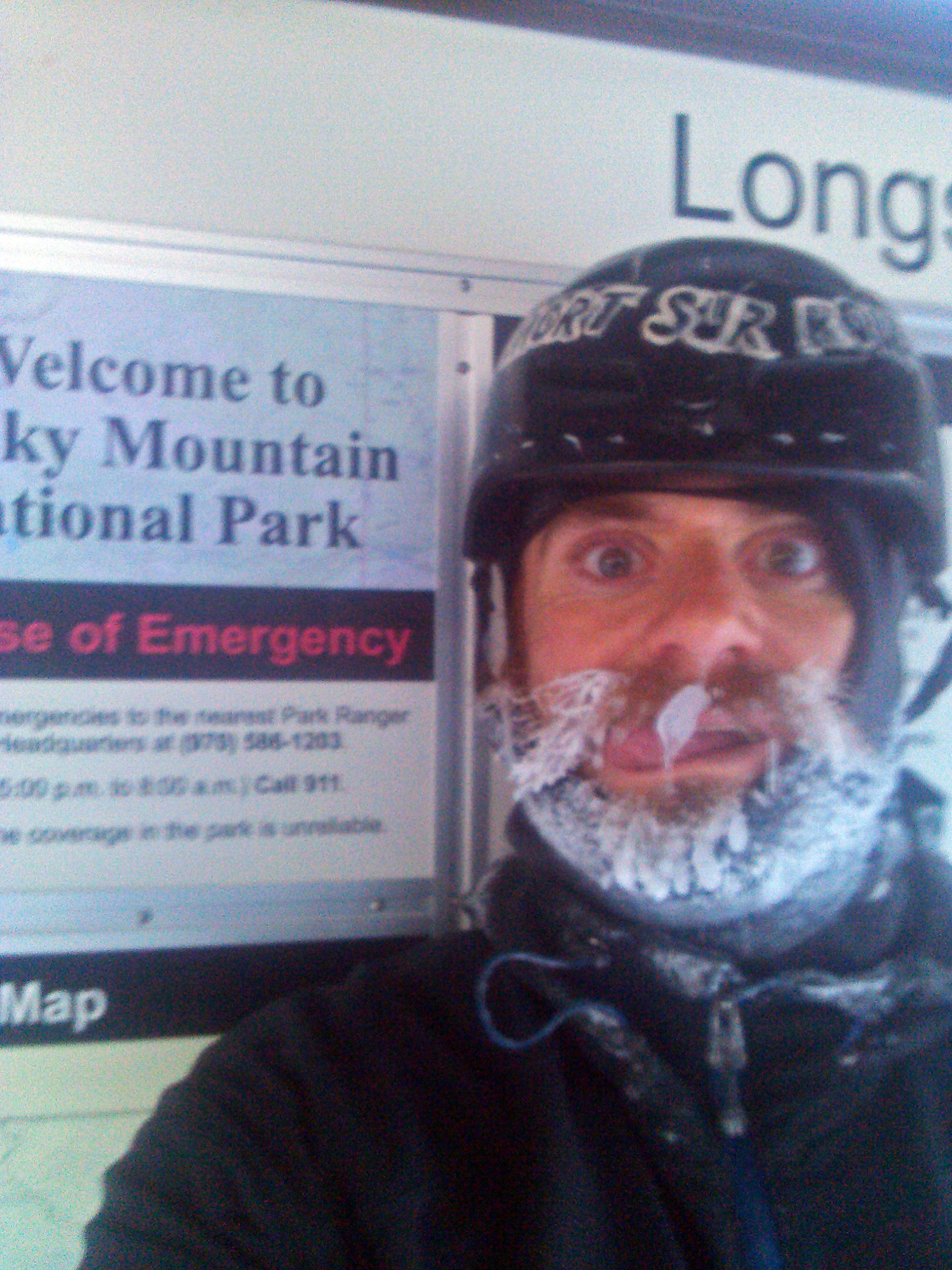
After leaving Boulder’s city limits, I ride west through Jamestown, onto Overland Road toward the Peak to Peak highway, which amounts to four hours of pedal pushing, mostly uphill. The more I climb, the colder and windier it gets. I ride with fewer layers than makes good sense: If I ride too warm, I’ll end up drenched in sweat that will freeze once I stop. Taking breaks eats valuable time, so I don’t.
I enter James Canyon and the road is covered in a veneer of ice, which I note might present a problem on the way down, promising myself I’ll remember such details 24 hours later.
Overland Road clings to the side of the hill, facing a deep canyon plunging down the opposite side. These very switchbacks ended a previous duathlon. My Christmas Eve present that year was a snapped chain and a long walk home.
Another attempt in March of 2021 was thwarted by fierce wind at the Peak to Peak turnoff. Those very winds threw K2 summiteer Alan Arnette across the nearby trail on Twin Sisters, breaking his leg on a rocky outcrop. Safe to say I’d made the right choice turning back that day.
My bike and I roll into the Wild Basin trailhead at 5 a.m. There’s no one to greet me, or check for my national parks’ pass, no real clue that something unique is about to begin hours before the sun even thinks about rising.
I plop myself down. Off come my bike shoes and neoprene gaiters; on go my trusty La Sportivas; out come the trekking poles. I strap my snowshoes to my back.
The route up Keplinger’s can be broken up into three segments. First, a straight, seemingly endless trail toward Sandbeach Lake. No views, little change in elevation. The snow is deep, but I’m too stubborn to put on snowshoes. It’s faster to hike without them.
Only one landmark breaks the monotony: the crossing of Campers Creek. Before even reaching the trail head I’d run out of liquids, so I fill up my Nalgene and stuff it into a wool sock with a hand warmer, praying it won’t freeze—it’s the only guaranteed source of water for the rest of the route; I’ve set myself up to be massively dehydrated.
Four miles into sloppy, snowbound conditions, I turn off the trail toward the south side of Longs Peak. Here, the snowshoes go on and stay on until I reach the couloir’s base at 11,900 feet. Even stopping for this short time leaves me chilly.
I thank the previous snow-shoers for the trench they carved earlier that week. Under the northeast flanks of Mt. Orton, I see signs of recent avalanche activity: the snowshoe tracks suddenly disappear under debris that’d come from high above. Future slides are all but a given. Even a small one could bury me in snow the consistency of quick-set concrete with enough force to break a leg.
My first view of Keplinger’s couloir comes around 9 a.m., eight hours after I left Boulder. It’s incredible: a quarter-mile vertical stripe of snow from base to summit—the highest point in Rocky Mountain National Park.
I remember the last time I’d taken in this view. It was late in the day—too late, I’d decided, to safely ascend. Today, I check my watch: there’s still time.
One horizontal mile further, I reach the couloir’s base. I stash my snowshoes, some batteries, extra food, and warm layers: I’m betting it all on going light. From here, I can see Keplinger’s couloir, about as wide as the street I live on, filled in with deep, unconsolidated snow; ribs of slabby rock stick through, bits of moraine jut out like stepping stones.
I begin moving upward. The sugary snow swallows me up, so I move to the rock ribs, but they’re tricky to climb, and I opt for the silty moraine, which makes for awkward walking. I probably look pretty stupid up here.

Crossing danger once more
Keplinger’s Couloir has one interesting historical note to its credit. It was used for the first Anglo ascent of Longs Peak when one-armed Civil War veteran John Wesley Powell summited in 1868. A trip report was published in the Rocky Mountain News, written by Judge Lewis Keplinger. (It’s quite probable that the mountain had already been summited by indigenous people residing in the area, who probably had their own name[s] for the mountain and its couloir.)
These days, most people favor a start from the east side of Longs, where a well-maintained trail is many miles shorter and helpfully marked with spray-painted bull’s-eyes.
I move sluggishly up the couloir, broiling under even these light layers. The gully acts like a solar oven, reflecting and focusing the sun’s rays onto me. Despite the below-freezing temperature, I begin to strip.
Shirtless and sweating, I top the couloir.
It’s a short distance to the bottom of Homestretch, where I’ll merge with the well-known Keyhole route and its final, easy pitches, guided by the bull’s-eyes painted on rocks. But before me now is real danger. I’ll soon be sandwiched between two cliff faces, and traveling over the worst snow conditions I’ve ever seen on Longs. Blocks of compacted wind slab rest on delicate, powdery hoar. I’m cold, alone, hours away from help. A single step, a slide, and a steep plunge could end more than just my adventure. It can take months, even years, to recover a body up here.
I stash the rest of my gear and my pack, bringing only the essentials: crampons, ice axe, phone, emergency satellite communicator, extra pair of glove liners and some candy. No headlamp—motivation to get back before dark.
It’s slow work crossing the snow. Rock-hard wind slabs force me to backtrack several times. At one point, I attempt to climb onto the rock face above me to escape the unsupportive snow, but I cliff myself out as I try to traverse.
Finally, I hit Homestretch. I don’t try to stop the tears that hit me, thinking I’ll soon reach my goal. But mingled with relief and pride is the knowledge that I’m truly only half-way; I have to reverse my path, cross danger once more, this time after 13 hours of activity. I’ve only drank a few liters of water and tossed down some candy since I started on foot.
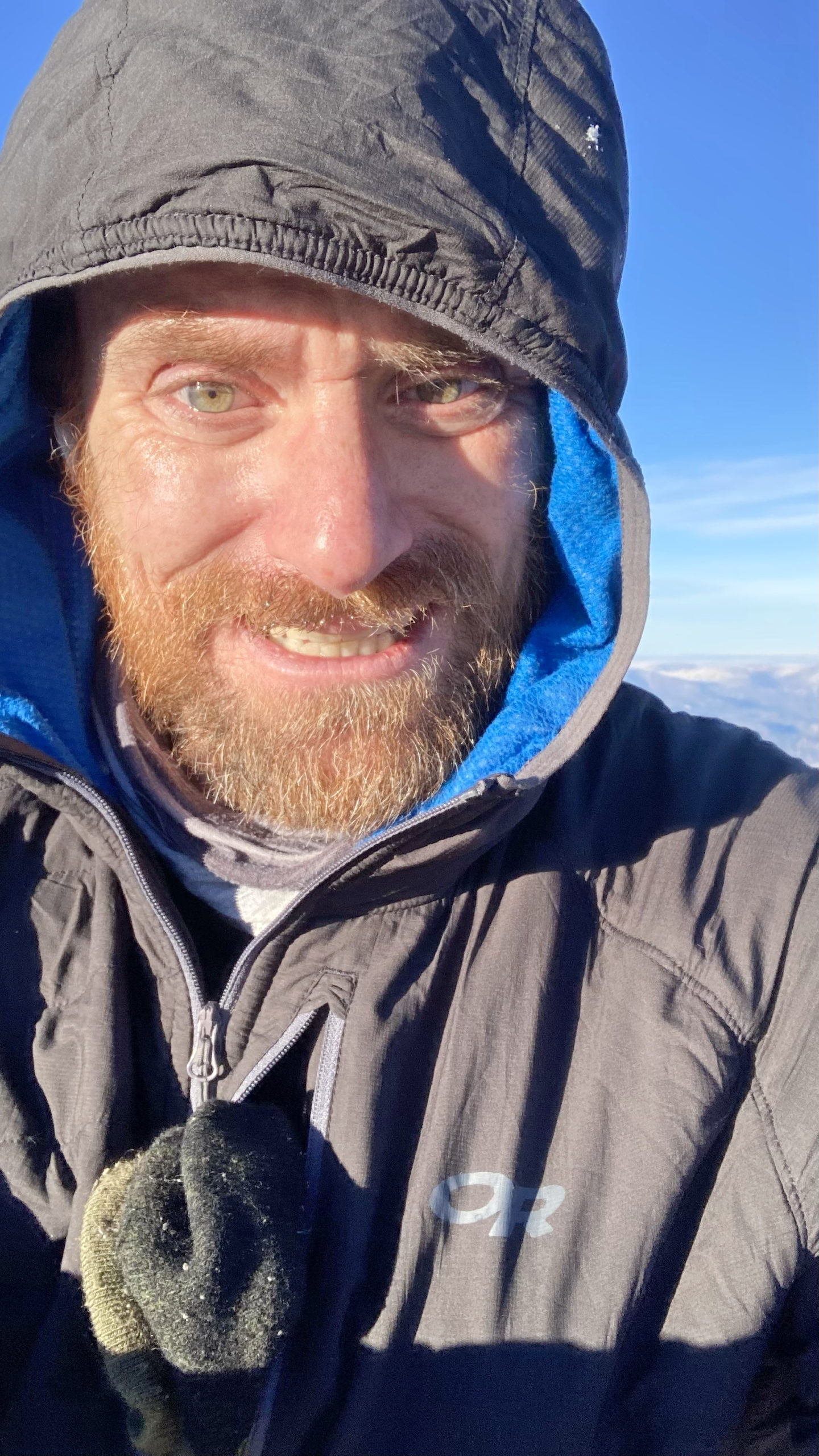
I stay on the summit just long enough to snap a bleary-eyed photo and let my partner know I’m alive. It is 4:20 p.m. I have less than an hour of daylight left to make it back to my pack stashed in the couloir below.
I remember not one breath from the traverse back. As the last light winks out, I reach my pack and put on my head torch and exhale. The world shrinks to what the light touches.
Climbing down, I take large strides into unconsolidated snow up to my thighs. Gravity aids my descent and sooner than expected I reunite with the rest of my cache. Every layer goes back on. From deep within my now-cold lungs I begin to wheeze.
My head, pounding from the effort, altitude and dehydration, remembers the creek is still several hours away. I rest only once, leaning against a tree for 10 minutes until the chill urges me on.
Reaching the creek, I drink as much ice-cold water as my stomach can handle, each sip like an ice axe striking my aching head.
I reach my bike at 11 p.m., 23 hours into this adventure and more than 6 hours after I’d left the summit. I crawl into the pit toilet for a nap, grateful for its relative warmth. Thirty minutes is almost enough to gather my thoughts, but my nose pushes me onward.
Of all the gear I skimped on bringing, I didn’t neglect extra socks. I trade in the wet/cold ones before pointing the bike south to ride home.
It’s not all downhill from here: Before I lose 5,000 feet of elevation, I need to climb 2,000. Each hill worsens my wheeze. All I can do is purse my lips, breathe slowly through my nose then out my mouth, protecting me from hyperventilating and passing out.
An invisible river of cold air rushes down the canyon along with me. Damn valley inversions. I want to cruise as fast as I can, but I have to temper my speed. Somehow, I have remembered the ice on the roads. I shiver as the mile markers tick down.
Old Stage Road is finally in sight—the last hill before Boulder’s city limits! I give my bike a little bounce and feel the rim hit the pavement with the weight of my body and gear.
I’ve flatted on a downhill, five miles from home at 3 in the morning. Muscle memory changes the tire, and I pedal on.
It’s quiet through town in the early hours of Monday morning, my faintly rasping breath the only soundtrack. Nothing stirs at my Martin Acres home as I peel off each sweat-logged layer and settle into the shower. I sit on the tiled floor; there’s no strength left in my legs.
In four hours, I’m due at work—another 20 mile bike ride away.


