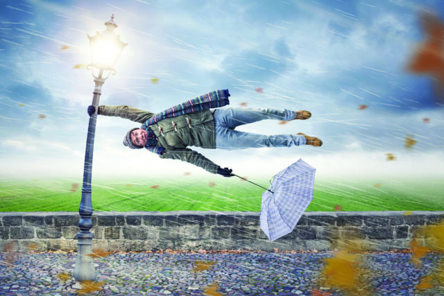
If the wind has tormented you more than usual lately, it’s not just in your head. Data from across the state puts this April among the gustiest in 25 years. In order to understand why, and what that means for everything from fire season to snowpack, we sat down with professor Russ Schumacher, director of Colorado State University’s Colorado Climate Center.
Boulder Weekly: Coloradans are no stranger to a gusty spring. To set the stage, what normally drives our annual winds this time of year?
Russ Schumacher: April tends to be our windiest month on average across most of eastern Colorado. It’s the time of year when the jet stream starts making its march back to the north after the winter, but it also tends to be quite rainy. You’ll usually see severe thunderstorms out on the Great Plains, in the Midwest, and the South. In Colorado, we will often get periodic snowstorms through April. It’s the transition season and a volatile time of year. Coming along with that are strong winds in a lot of cases.
BW: According to the National Renewable Energy Laboratory, this spring, and April in particular, stood out as one of the windiest on record. Can you walk us through the science behind what’s going on here?
RS: The big picture perspective is we’ve been in La Niña since the winter. What that does is push the storm track farther north than usual. That’s what we’re seeing this year; more northern states have had a lot of wet conditions, but in the southwest, it’s very dry and drought-stricken. All that lined up with winds we’ve seen this year in Colorado. When the low-pressure centers formed in the spring, they went to our north and we ended up on the dry and windy side of the storms. We don’t get any precipitation out of the storms, or not much. When we’re talking about drought conditions in the spring, those two processes feed off each other. If it’s not raining or snowing, then you’re not getting that moisture. And then when it’s windier, the atmosphere is thirstier for water as well: it wants to suck moisture out of the soil and the snow. That led to a very dry, windy April, with little precipitation.
BW: So we know we’re looking at an outlier then, but are we also looking at a trend? Should Coloradans expect more of the same from spring in the coming years or is it too soon to say?
RS: However you look at the data from this April, it was unusually windy in Colorado. But it’s difficult to establish any clear, long term-trends because we don’t have long-term records. NREL only has 20 to 30 years of data, which isn’t unique when we talk about wind. Contrast that with temperature and precipitation and we have records that go back 100 or 150 years in places. That being said, even over the last 30 years, there’s no obvious trend. Wind is highly variable: You have some years that are very windy in the spring, and some not so much. Regardless, this year definitely stands out on the windy side.
BW: If the historical data is inconclusive, what do climate models speculate about wind in
the future?
RS: If you consider the U.S. as a whole with a warming climate, the jet stream will probably shift northward and perhaps weaken. I’m speculating, but we could actually see a trend toward less windy conditions. The caveat is that winds are an extremely local phenomena. Climate models don’t resolve our mountains all that well, or at least the variations between mountains and valleys, which we know are critical to understanding local wind speeds here. So I don’t think we really know exactly what the future holds.
BW: An extreme wind event in late December was part of what propelled the devastating Marshall fire through Louisville and Superior. Putting that tragedy into a climate context, does it tell us anything about the potential for future fires across the Front Range?
RS: The Marshal fire … was driven by these extreme downslope winds that are common in that spot, though still extreme for that location. That area south of Boulder, Louisville, and Superior is a spot that is very prone to those extreme wintertime downslope winds. The unusual dryness in December is what made that
fire unique.
So, it’s a little bit different from this spring, where the maximum wind speeds haven’t been record-setting. What it has been is relentlessly windy for such a long period combined with low humidity and precipitation. Those conditions tend to dry out the landscape more quickly than then if it’s cloudy, cool and not windy. These are the kinds of conditions that favor the fast growth of wildfires. This spring in Colorado, we’ve been very fortunate that none of our fires got big. But then we don’t have to look far to our south in New Mexico where they’re having among the largest fires they’ve ever seen there.
BW: Could you unpack what a “thirsty atmosphere” means
for readers?
RS: The atmosphere “being thirsty” is a colloquial way of talking about evaporation. The air is always trying to take water from wherever it can get it: from soils, from grasses, from crops, accelerating in the summer when it’s warmer. Likewise, as temperature increases, or it gets windy, or you have these periods of really low humidity, then that evaporative demand goes up. That part of what’s been happening in the West and Southwest. A recent study that looked at trends in evaporative demand over the entire country showed the Southwest experiencing the most. Evaporative demand has been increasing over the last 40 or 50 years and It can increase because of more solar radiation, more wind and lower humidity. But what the study found was that the largest single contributor is rising temperatures.
BW: So the winds are only a necessary accomplice to the fires. The main culprit is the increased aridity. How does this bode for our fire season in the coming decades?
RS: There’s a large and growing scientific literature pointing to increased areas burned over the West as the climate continues to warm. Other studies are revealing how more days with hot, dry and windy conditions will lead to fires. But it’s not necessarily like each year is going to be worse than the one before, but instead that the next decade is worse than the last decade. As you have temperatures going up, that essentially expands the fire season. Think about what we saw in 2020 with the fires in October. It wasn’t exceptionally windy. What was unusual was that it had been so warm and dry in the months before. Fires were still burning into October and then when one of those strong winds came, it was primed
to explode.
BW: Besides winds and fires, is there anything else about this spring readers should keep an eye on?
RS: One thing we’ve been looking at with this spring in particular is how the snowpack across the southern mountain basin has melted extremely fast from what was a decent peak this winter. April was really sunny, without many cloudy days; It was warm, it was very windy, and that wind brought dust, which is the other factor that can lead to rapid snowmelt. Dusty snow absorbs more sunlight and warms up quickly. So that’s one indirect outcome of our windy spring.
***
Send comments and questions to [email protected]


